Our Watershed
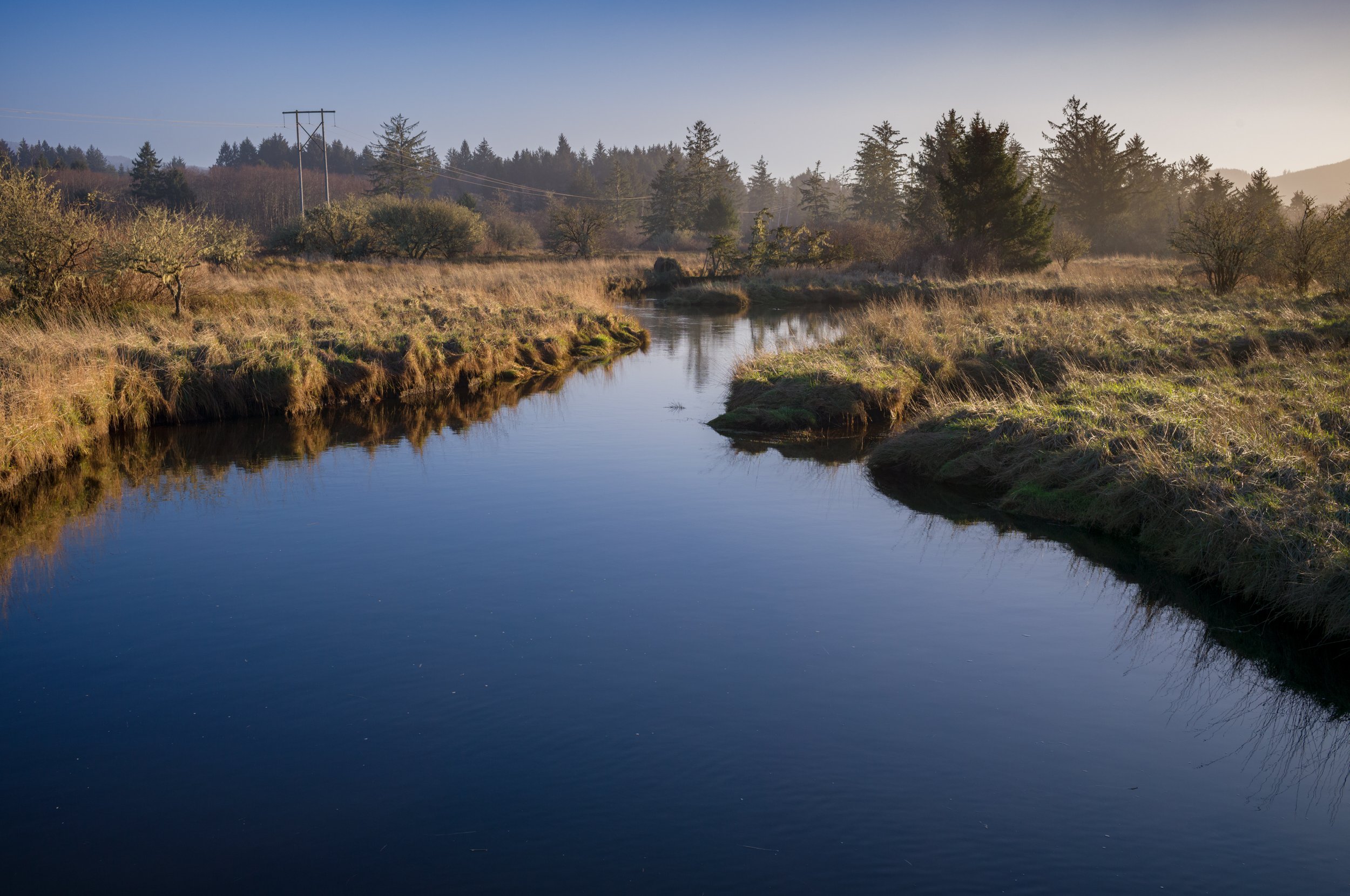
Flowing from the soaring peaks of the north Oregon Coast Range, the headwaters of the Necanicum River are located at nearly 3,000 feet, nestled between Humbug and Sugarloaf Mountain. Like most Pacific Northwest coastal ecosystems, the Necanicum Basin is a temperate rainforest, rich with life and resources. At the highest elevation, 2,846 feet, annual precipitation can reach as much as 150 inches, and at sea level it can still precipitate on average 75 inches per year.
This wet, coastal environment supports a dominance of western hemlock, Sitka spruce, Douglas fir, true fir and western red cedar, while the riparian corridor is often shaded by red alder and maple species and insulated by the coniferous species.

The Basin is home to the communities of Seaside and Gearhart, which support a year-round population of roughly 10,000 people. But come spring and summer, the population balloons, with the Seaside area getting roughly 1-2 million overnight visitors each year. This tourism, as well as increased demands for land use and natural resource management have impacted the watershed over the course of the last two centuries and continue to do so today.
The Necanicum Watershed Council sees a present, and future, in which there is an economically and ecologically sustainable way to restore and increase the quantity high-quality riparian and upland habitat while continue to support the industries that our communities rely on for sustenance.
Visitors from near and far will come to the Necanicum for its world-class winter steelhead run fishing and beautiful coastline, from rocky basalt cliffs to lowland Oregon dunes in Gearhart.
Photo by Daniel O’Neil
Illustration by Lori L. O’Neil

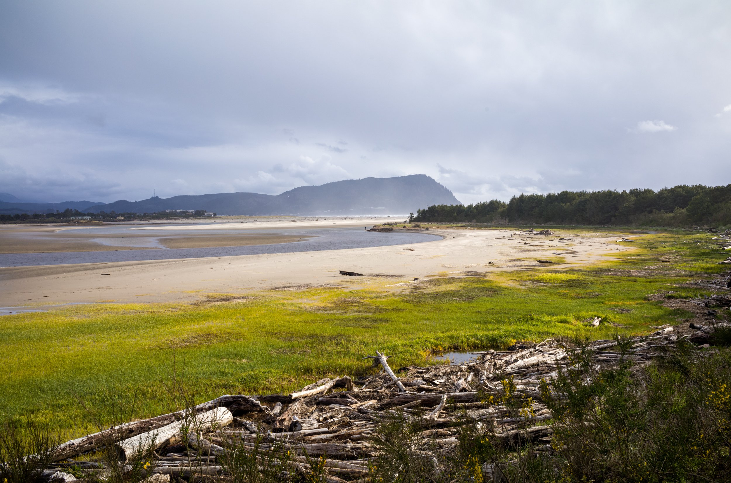
The drainage basin of the Necanicum River is approximately 56,000 acres and is heavily forested (92%), mostly with third-generation timber farm forests. Some second-growth stands till exist within the watershed and are comprised mainly of Sitka spruce with understories made up of a variety of traditionally occurring species. From coastal forests to rich alluvial wetlands, 163 stream miles weave their way from Columbia River Basalt cliffs to the ocean, via the Necanicum Estuary, which is the confluence of the Necanicum, Neawanna and Neacoxie systems.
The Necanicum watershed supports the Evolutionarily Significant Unit - endangered species listed coho salmon as well as coastal cutthroat and steelhead which are listing candidates. There are two species of lamprey present (Brook and Pacific) as well as a handful of other fish species like sculpin, flounder and perch in the estuarine waters of the river's drainage. Traditionally, the Necanicum had Chinook and chum runs however those have not been observed in recent years.
Photo by Daniel O’Neil